Fort Hood airmen map out science lesson for S. C. Lee students
When you plan a hike, the distance you will walk is only half the story. You’ll also need to know if you’ll have to climb hills and what kind of terrain you’ll be traveling. A topographic map flattens the world into a two-dimensional document so that you can see three-dimensional shapes and find your way.
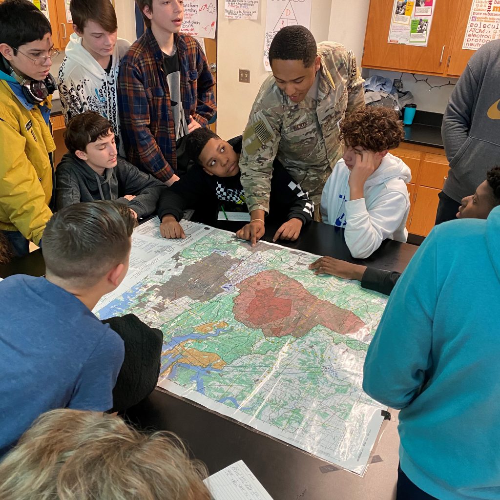
Four Air Force service members from 9th Air Support Operation Squadron, 1st Cavalry Division from Fort Hood brought topographical maps to life for S. C. Lee Junior High students by applying them to real-world scenarios.
The airmen visited teacher Fran Caldwell’s eighth-grade science classes where students are learning about topographic maps. This can often by a dry, uninteresting topic for eighth-graders, who see no real-life application to the skill. Caldwell was looking for ways to make the material more exciting and relevant to interest the students in the subject matter.
“The Texas Essential Knowledge and Skills standard that students are learning is to interpret topographic maps and satellite views to identify land and erosional features and predict how these features may be reshaped by weathering,” Caldwell said. “Students spend two days learning this standard before the airmen’s visit.”
The visiting airmen brought maps, protractors and some of the equipment they use every day. The service members talked to students about how they use topographic maps as part of their job in the U.S. Air Force.
“It was a really interesting lesson,” said student Daniel Smith. “We got to see how science is used outside of school and how we can apply it to real-world situations.”
Students applied skills in science, math, and reading. Activities required students to read maps, measure, problem-solve, and collaborate with their respective groups. The Airmen showed students how to find coordinates using specific tools and presented a lesson on interval lines, sharing tricks and shortcuts that they learned at their specialty school. Students used military protractors to find exact locations on the map. Airmen gave students an extra challenge location and gave military badges to students who solved the challenge. Several students noted that the lesson inspired them to explore the possibilities of a job in the military.
“It was amazing to see how someone uses it every day. We learned what they are, how to read them, and special features,” student Samantha Parker said. “It was very interesting having a guest speaker from the military to come in and visit.”